Tsung-Tsong Wu, upon his appointment as Minister of the Ministry of Science and Technology (MOST), emphasized the importance of the humanities and social sciences for the drive towards an innovative country. Render Farm1 constructed by the National Center for High-Performance Computing (NCHC) under MOST, has assisted in the development of many 3D animation talents by providing the rendering technology required in Taiwan’s cultural and creative industries. At this juncture, point cloud technology is being applied to the construction of 3D models for a variety of artifacts, historical sites and other buildings. The use of artificial intelligence can shorten the timeframe for the correction of abnormal point clouds from six months to one month. The harnessing of technology to reduce the requirement for manual efforts and enhance the capability in historical sites maintenance constitute an exemplary paradigm for the integration of technology and the humanities.
Point clouds are the digital and dimensional records of real-life objects, comprised of millions to billions of points. With the scanning and measurement by LiDAR2 , each point scans and measures the objects to quickly acquire large quantities of their 3D coordinates and with high accuracy. These points are aggregated into the 3D model of the objects, which are then combined with colored digital photos to map the correct colors to the correct locations for the construction of a digital 3D model in great resemblance with real-life objects. Point clouds can be used in historical sites maintenance, architectural engineering, autonomous driving, and digital cities.
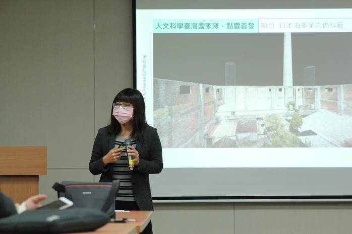 Introduction of point cloud computing by NCHC Division Director Chia-chen Kuo
 Erroneous color mapping is inevitable based on the existing point cloud technology. For example, swaying tree leaves are often mapped to the color of the skies, and leads to an image that looks like snow falling. The residual of images of pedestrians is also another typical problem with current technologies. According to the experience of many metrology service providers, there have been efforts to improve the measurement technology and environmental conditions to address these problems. The other methods adopted in the past were to manually recut and recolor the abnormal point clouds in individual regions. Manual coloring was labor-intensive, time-consuming and often not resulting in adequate fidelity.
To address this issue, the NCHC has developed a method using artificial intelligence to identify abnormal cloud points and automate color corrections, thereby correcting abnormal point clouds for the computing services offered by Render Farm. This method fills the void of existing products/technologies.
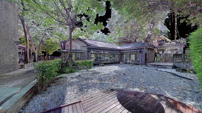 Incorrect coloration of trees
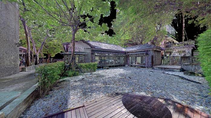 Corrected coloration of trees
 The method of correcting abnormal point clouds is to apply artificial intelligence for the differentiation of the normal colors and abnormal colors among them. This is followed by the correction based on nearest neighbor regression and laser reflected strengths. Recoloring is administered by overriding the abnormal colors with the correct colors. The automation of color corrections can shorten the timeframe of manual processing from six months to one month and achieve greater realistic and accurate imaging for the cloud model. This technology has been used by the Japanese Navy’s Sixth Fuel Factory - Hsinchu Branch, and Qi Dong Poetry Salon of Taipei City for the recreation of digital scenes and the assistance in the preservation and utilization of historical sites.
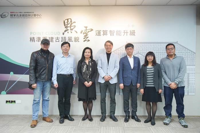 From the left: Director Kent Chang, Kent Animation; Deputy Director Hsin-Yao Li, Cultural Affairs Bureau, Hsinchu City; Deputy Mayor Hui-Hung Shen, Hsinchu City Government; Director General Shepherd Shi, NCHC; Director Shuo-bin Su, National Museum of Taiwan Literature; Division Director Chia-chen Kuo, NCHC; General Manager Yin-Jui Huang, LeaderTek
 The patent for this technology is pending in Taiwan and the U.S, and has already been deployed on the NCHC’s Render Farm as a value-added service for point cloud computing to serve the customers’ needs for model corrections by combining the automated visualization powered by high-performance computing on the platform. To assist in the total and comprehensive upgrade of point cloud technologies in Taiwan, The NCHC also hopes to license this technology to cloud software developers, LiDAR manufacturers, metrology service operators and spatial information service providers.
1.Render Farm: Established by the NCHC in 2011, Render Farm provides high-performance computing services for the rendering of animation and special effects. The purpose is to drive the application of technologies in the cultural industries and talent development and to assist in the production of high-quality movie special effects and animation films.
2.LiDAR: LiDAR stands for light detection and ranging. Working similarly with radar, LiDAR sends off laser beams to objects and picks up reflected light. The cartesian coordinates of an object are determined by calculating the distance between the laser source and the object based on the time difference between sending and receiving signals.