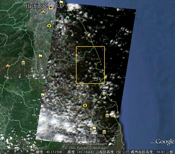
 FORMOSAT-2 image of Iwate area overlaid with Google Earth image on March 12, 2011.
The Sendai earthquake and tsunami was a 9.0 Richter magnitude undersea megathrust earthquake off the coast of Japan that occurred at 05:46 UTC (14:46 Japan Standard Time) on March 11, 2011. The earthquake triggered massive tsunami waves of up to 10 m that struck near the northeast Pacific coast of Japan’s Honshu Island and caused extensive damage.
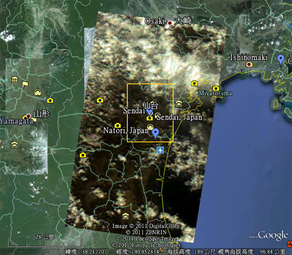 FORMOSAT-2 image of Sendai area overlaid with Google Earth image on March 12, 2011.
In a swift response to the disaster, the NARL’s National Space Organization (NSPO) triggered the FORMOSAT-2 emergent image tasking, and made its high resolution images available to both national and international communities for further processing and analysis. The NARL-NSPO also forwarded the FORMOSAT-2 images to the Sentinel Asia, which is a collaborative initiative between space agencies and disaster management agencies to support disaster management in the Asia-Pacific region.
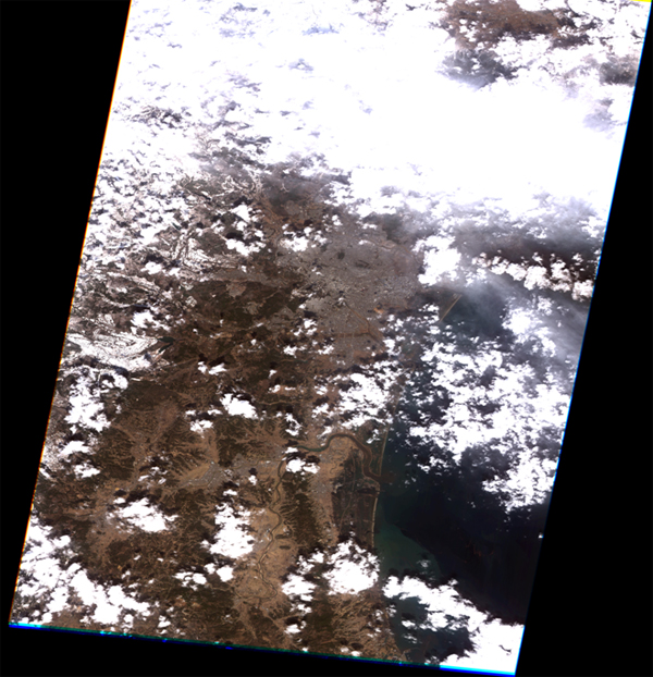 FORMOSAT-2 image of extremely destructive tsunami waves that had traveled up to 6 km inland in the Sendai coast on March 12, 2011.
FORMOSAT-2 is the only satellite, due to its atypical orbit, capable of taking high resolution images of the same point every day. This unique ability enables the international community to follow the evolution of the 2011 Sendai earthquake and tsunami disaster day by day for at least a week. The analyzed and interpreted data from the FORMOSAT-2 images would assist the ground crews and emergency teams as they undertake rescue efforts and assess the damage to infrastructure.